


HAVANA, Cuba, Jan 14 (ACN) The Research and Hydraulic Projects enterprises are continuing the elaboration of the Hydrogeological Map of Cuba on a 1:100 000 scale with the aim of assessing the water potential of aquifers and polluting focuses in the country.
Both are essential elements, used by those who operate subway deposits, told exclusively to the Cuban News Agency, specialists from the Geology Department, of the Ministry of Energy and Mines (MINEM), in a summary of the result of their management in 2020.
Only in Holguin province(eastern Cuba), they finished the report corresponding to San German (current municipality Urbano Noris) and two in Havana-Mayabeque (Havana and Guines), joined by the authors of the mentioned entities of Research and Hydraulic Projects, of the Higher Organization of Business Management of Integrated Management of Terrestrial Waters.
The Direction of Geology, from MINEM, also informed that in the case of the geothematic cartography, Geocuba North East concluded several plates of the Geomorphological Map of Cuba on a scale of 1:100 000 in Cabo Lucrecia, Banes , in Hoguin; Santiago de Cuba and Ciudamar.
The experts clarified that this map represents the geomorphological processes that occur at the surface and provides an examination of some geological risks, such as erosion and landslides, which are used in land-use planning and geological risk reduction.
The Geominera Camaguey(eastern Cuba) has a new Data Base of the 1:50 000 CAME III Camaguey Survey from 1981-1987, and CEPRONIQUEL updated its data in three nickel deposits to the Geodato La Delta and Santa Teresita system, as well as Cantarrana, in Holguin and Villa Clara, respectively.
On the other hand, Geominera Oriente improved the reference database of the National Office of Mineral Resources, while the Unit of Science and Technology of Geocuba improved the classifications of the digital topographic map at a 1:50 000 scale, which is applied in the Geologic of Cuba.
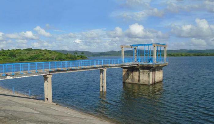
The company Geodesa updated the link of the geodesic network of Cuba with the national mareographic network, incorporated new tide gauges and integrated the measurements between both networks; while the Central Laboratory of Minerals kept all its documentation, by means of Atomic Absorption Spectroscopy, aimed at the study and evaluation of geologic materials.
These results contribute directly to the geological map data sheets that cover these blocks.
Cuba continues working on its Hydrogeological Map at a 1:100 000 scale
Nos reservamos el derecho de no publicar los comentario que incumplan con las normas de este sitio